
ROUTE FIVE
Pentrebach
Outline
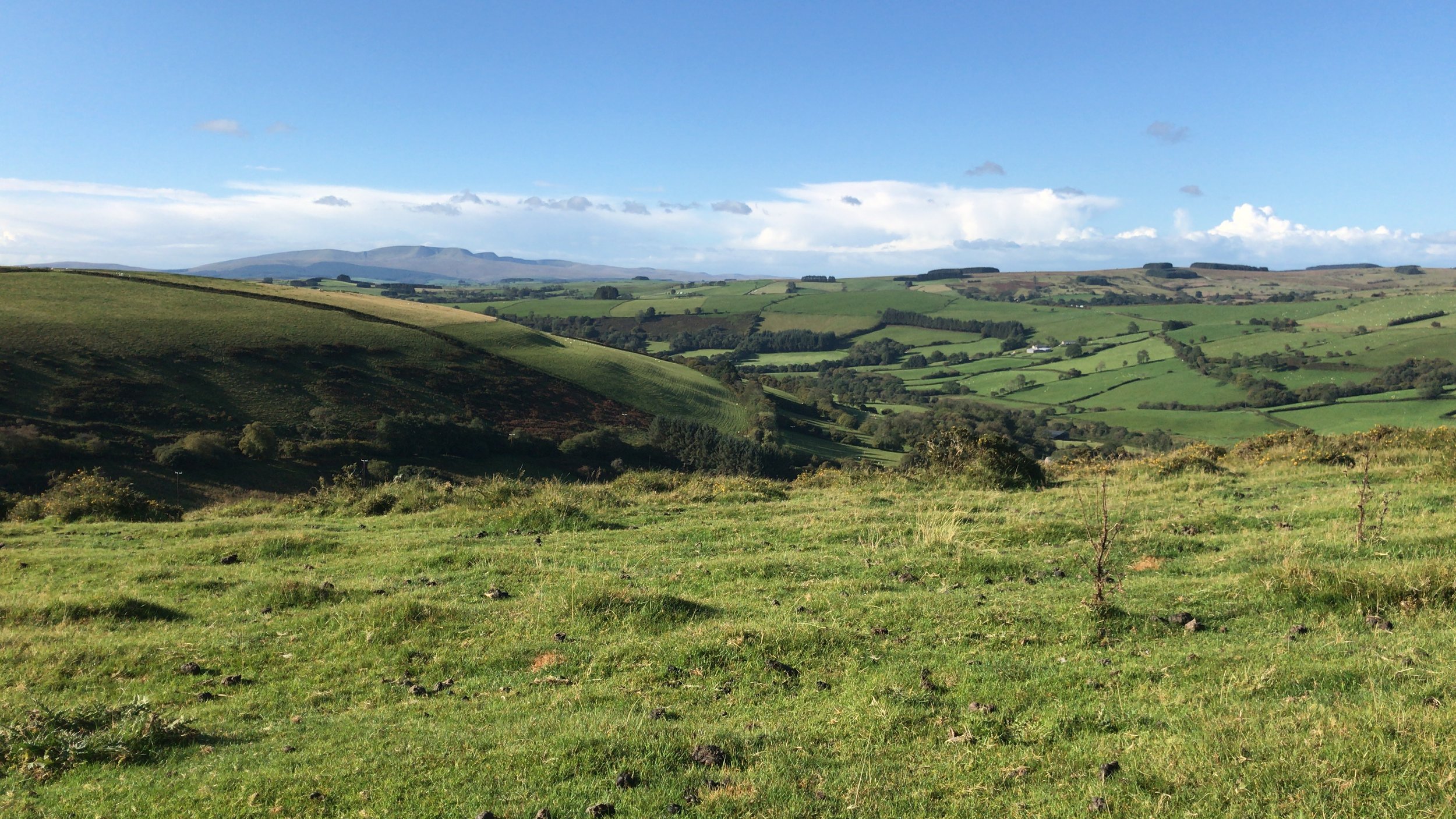
This walk explores the south side of Mynydd Epynt. It starts in the village of Pentrebach and follows quiet lanes, green lanes and moorland tracks with splendid views across Bannau Brycheiniog National Park.
Map
All grid references are from OS Explorer Maps 181 or 188 Builth Wells (at one point onto 187, by Pentre-bach), or Brecon Beacons Sheet 160.
Start and Finish Points
Shoemakers Pub, Pentrebach (SN 90933)
Note limited parking in Pentrebach village
What3Words ///backpacks.puzzles.hoaxes
Alternative (SN 929335) with ample parking
What3words ///ready.metro.fuzz
Walking Time
2.5 -3 hours (if starting from alternative then there may be delay passing the pub!).
Ascent/Descent
100m or so down, 150m up on Epynt Way, fairly stiff in this section, more gentle on other parts of the walk.
Access/Parking
Limited parking in Pentrebach. The Shoemakers pub, SN 909332, is reached from A40 turning off at Sennybridge. Please ask permission from the pub if using their carpark.
Alternative start at SN 929335, by cattle grid. Reached from Llanfihangel Nant Bran or Pentrefelin, Sennybridge. Plenty of open ground for parking.
Route Narrative
Starting from The Shoemakers Country Pub in the hamlet of Pentrebach near Sennybridge, head north on the road towards Llandeilo'r Fan, passing the turning to Cilieni Valley on the right.
You will soon find a stony track on the right at Point 1 (SN 909333). Head North for 2 km, crossing a road at Point 2 (SN 902 348). This path goes through grazing fields and can be very wet and muddy. Eventually reaching the SENTA boundary and Epynt Way at Point 3 (SN 902355), EW marker post 710. Turn right at the bridle way post. Leave the boundary fence after a short distance to find a downhill track beside a wall leading to a ford. Turn sharp SE at Point 4 (SN 906362) to follow the fence line straight downhill crossing an old wall. Continue on down to reach the Cilieni tarmac track at point 5 (SN 911359).
Follow the track S for 100m to cross the river on a wooden bridge. The Cilieni Valley is a SSSI. Yellow flag irises grow in profusion at this spot. After crossing the bridge, strike out half left across the field up over a little hump to pass through a hedge, rounding above the tumulus and crossing a track to reach an ancient hedge and ford a small stream.
Turn right and cross a small stream before veering left at Point 6 (SN 920359) to avoid the fence line and begin the long climb up to the junction with Druids Way Road at Point 7 (SN 922361) marker post 731 or 2, also red flag. This section of the EW provides some strenuous uphill and downhill walking but through glorious country. Turn right through the gate here to follow the track South across common (access) land for 2.5 km. This is a partly made up road. Then reach a good metalled road near a cattle grid at Point 8 (SN 929335).*
Leave the road here taking a path down to the West (right) via Maesmerddyn hill side of open bracken. At the bottom pass through a gate, cross two fords to reach a minor road at Cefn Llech at Point 9 (SN 918334). This is a delightful, hidden path, overhung with trees, reminiscent of days of yore but can be muddy and the second ford can be wide. Follow this road down Cwm Llech to reach a T-junction at Point 10 (SN 910328) (Aberllech). Turn right here down the hill and cross the river bridge to reach the Shoemakers and your start point.
The suggested route starting from Point 8 is the reverse of the above. The section between Points 7 & 8 is a high exposed ridge and can be very wind exposed. Doing CR 5 this way allows for refreshment en-route, near the end.
* Riders must take a longer loop via Llanfihangel Nant Bran to rejoin the route by road. Continue on the Epynt Way to Flag 37 (SN 925368), follow a green lane that becomes a metalled road to Llanfihangel Nant Bran, turn right at the T junction (SN 943344) and then up the hill to the cattle grid at Point 8.