
ROUTE THREE
Tirabad
Outline
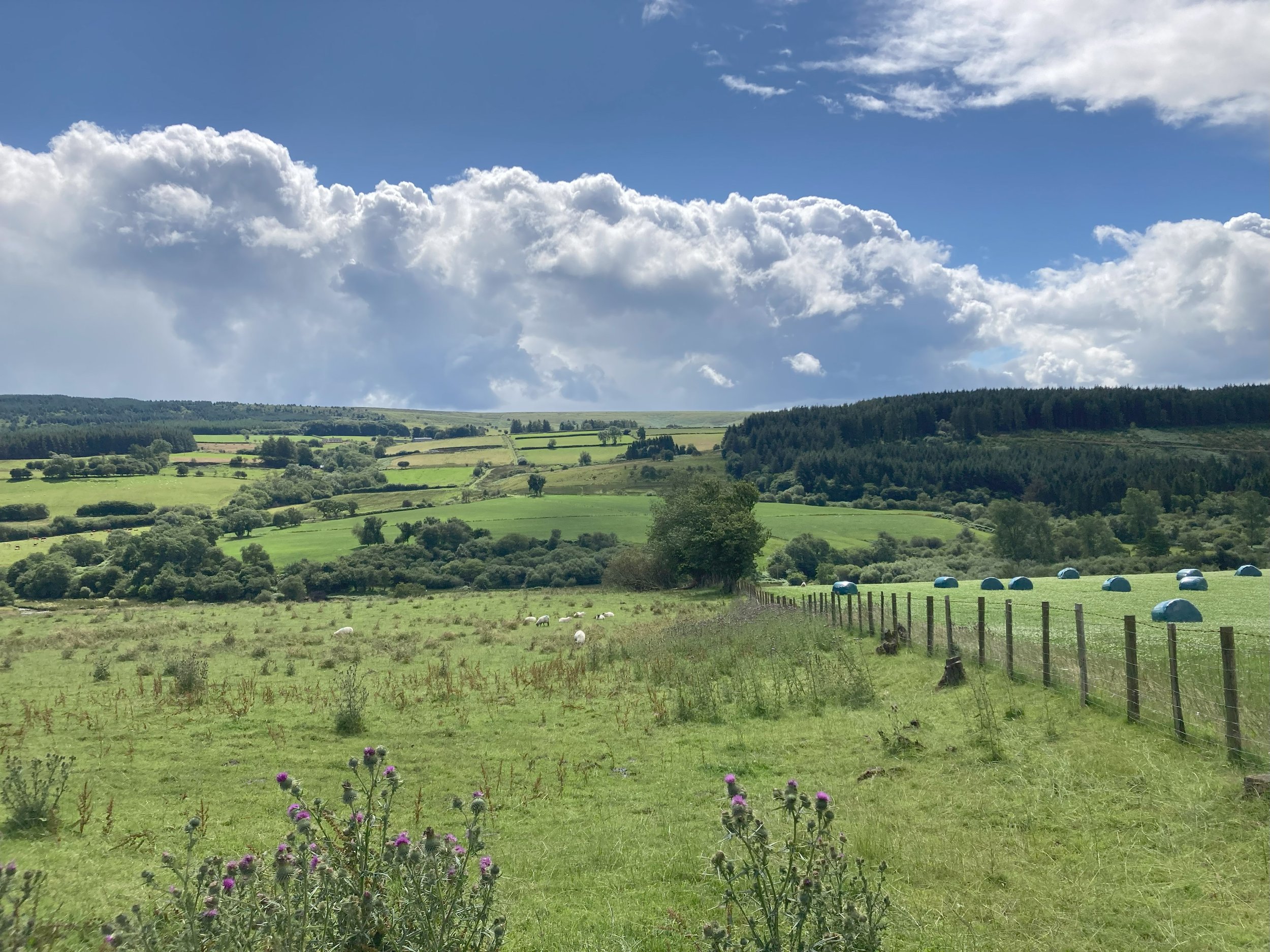
This circular route is pretty flat easy walking through woods, fields and along roads. It allows a view of the northern edge of Mynydd Epynt and passes through Tirabad, a pretty village. There are two starting points (Points 1&6) .
Map
All grid references are from OS Explorer Maps 181 or 187.
Start and Finish Points
Point 1, (SN 872 411)
What3words ///resources.dramatic.showcases
or Point 6, (SN 882431).
What3words ///cabbage.majoring.raking
Walking Time
About 2-2.5 hours
Access/Parking
Access to Point 1 is:
From the west : via the A 483 from Llandovery to Llanwrtyd Wells. Turn right before Cynghordy, (SN 809396) signed to Tirabad. Long drive down minor road to Point 1. Park on the unmade track.
From the east, from Cefn Gorwydd, go through Tirabad to find Point 1 just past a chapel on the left.
Point 6 is on the minor road between Cefn Gorwydd and Tirabad.
Route Narrative
Start Point 1 is one of the Epynt Way receptor areas (SN 872 411) with its parking/unloading area, corral and shelter. It is located 200m up the right hand track near Ffrwyd Fach just W of the Cynghordy Road chapel on the Western outskirts of Tirabad. Leave the road at an Epynt Way finger post (SN 872412).
Turn right along the road towards Tirabad and almost immediately at Point 2 (SN 873413) turn off left opposite the chapel onto a bridleway. After crossing a culverted stream (Nant Tyrnor) take the right hand fork up a rather faint old green lane to emerge via a gate near the Tyr Abad residential centre at Point 3 (SN 874415).
Cross the main track and then follow a fairly narrow forest track NW for 500 m to a major crossroads of tracks at Point 4 (SN 869421) Take the large track to the right and follow it for 1 km to reach the tarmac road at Point 5 (SN 881429). Turn left and follow the road for 200m to leave on the next forest track on the right at Point 6 (SN 882431). Emerge from the forest at a gate - Point 7 (SN 884429). Keep E across rough ground to turn SE around an old barn at Point 8 (SN 887429). From here a hard track leads down to Point 9 (SN 888428), a bridge beside a ford, which allows horses to cross Afon Dulas.
Continue up the track beside the river and through a gate at Point 10 (SN 89425). Leave the hard track heading left towards the corner of a wood at Point 11 (SN 894423). Follow the rough track up beside the wood to reach the metalled road at Point 12 (SN 898422). Turn right onto the road. After 1 km cross a cattle grid into the training area then pass the turning to Llywel at Point 13 (SN 885414). Follow the road down a steep hill over a cattle grid and the river bridge to a T junction Point 14 (SN 879414). Turn left here and follow the winding road through the village of Tirabad passing the church to find the chapel and your starting point.