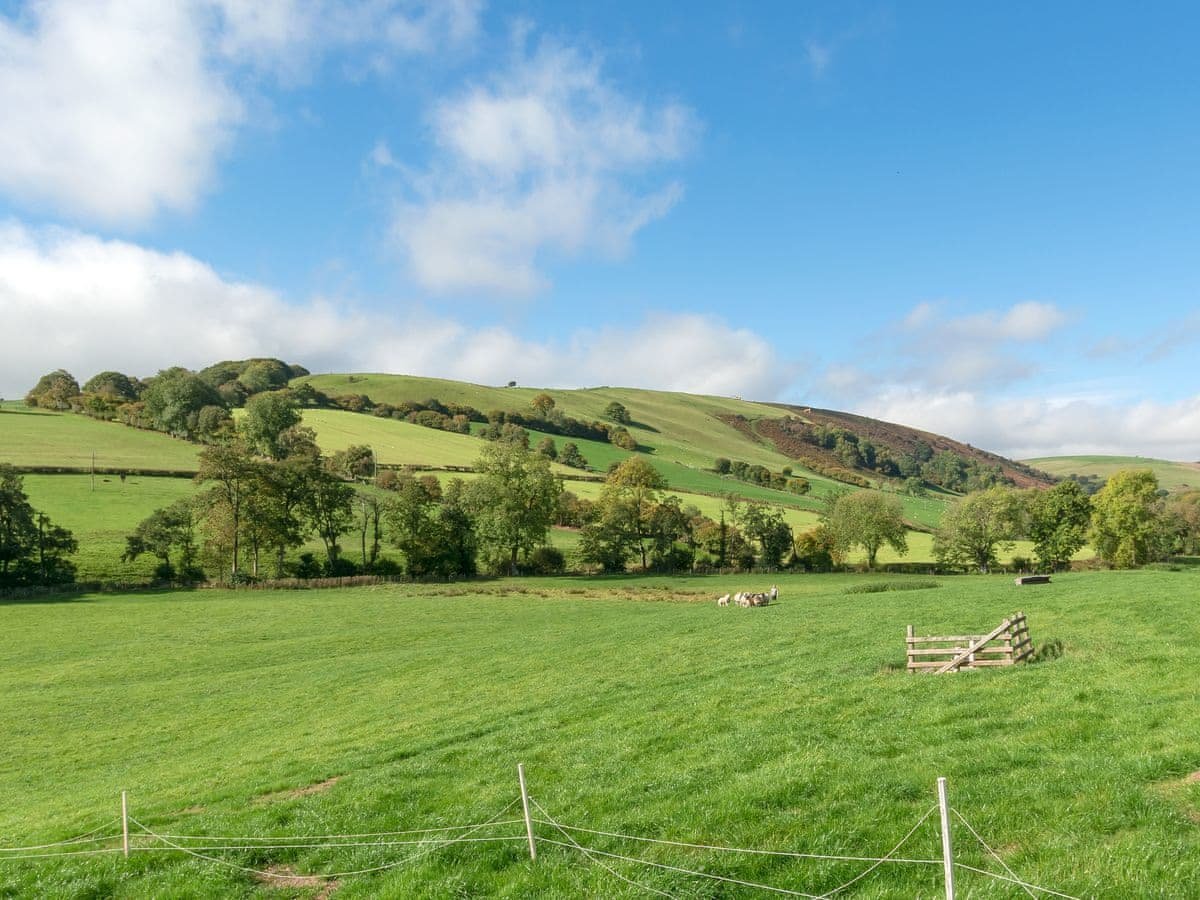
Enjoy a trip out at the Epynt Way Visitor Centre located on the B4519 road between Upper Chapel (LD3 9RG) and Garth (LD4 4AS).
The Visitor Centre occupies one of the original farm houses that were vacated during World War 2 when land on Mynydd Epynt was compulsorily purchased for wartime military training. The house is called Disgwylfa meaning place of observation or look out point.
The Centre provides free parking, toilets and picnic benches. Inside can be found information boards covering the history, geology, flora and fauna of Epynt and the use of the land by the military from World War 2 to the present day.
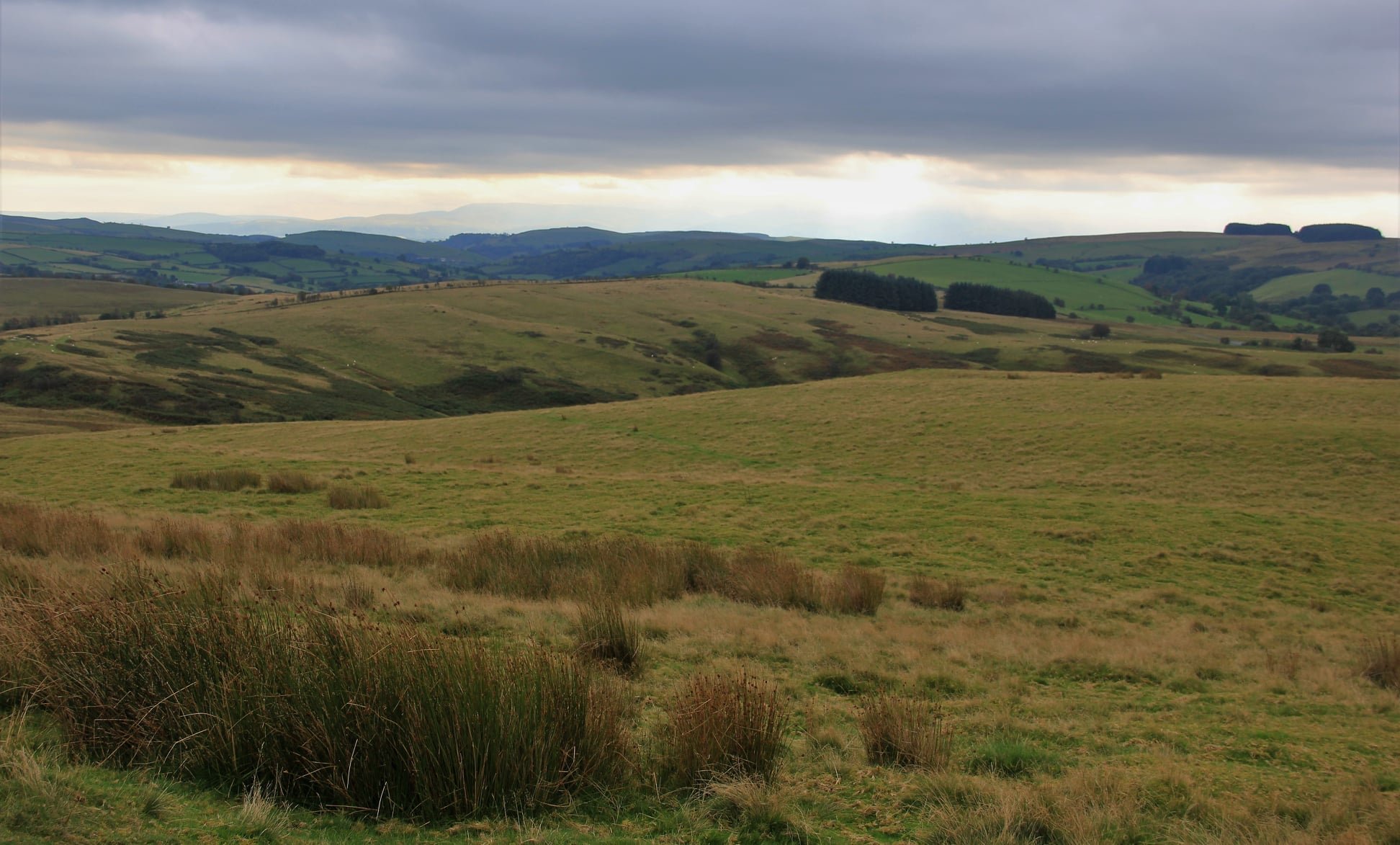
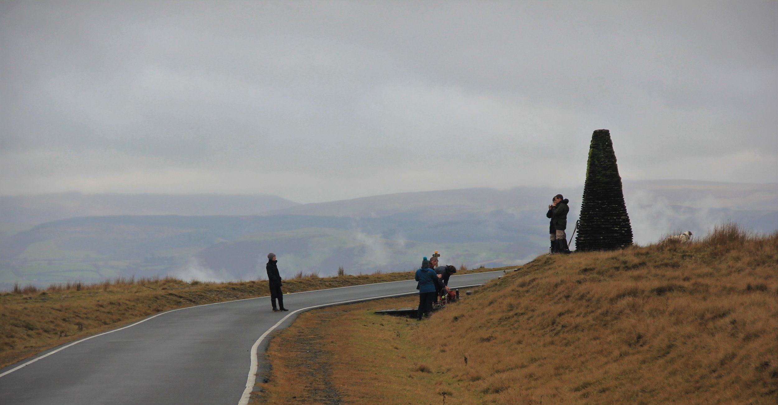
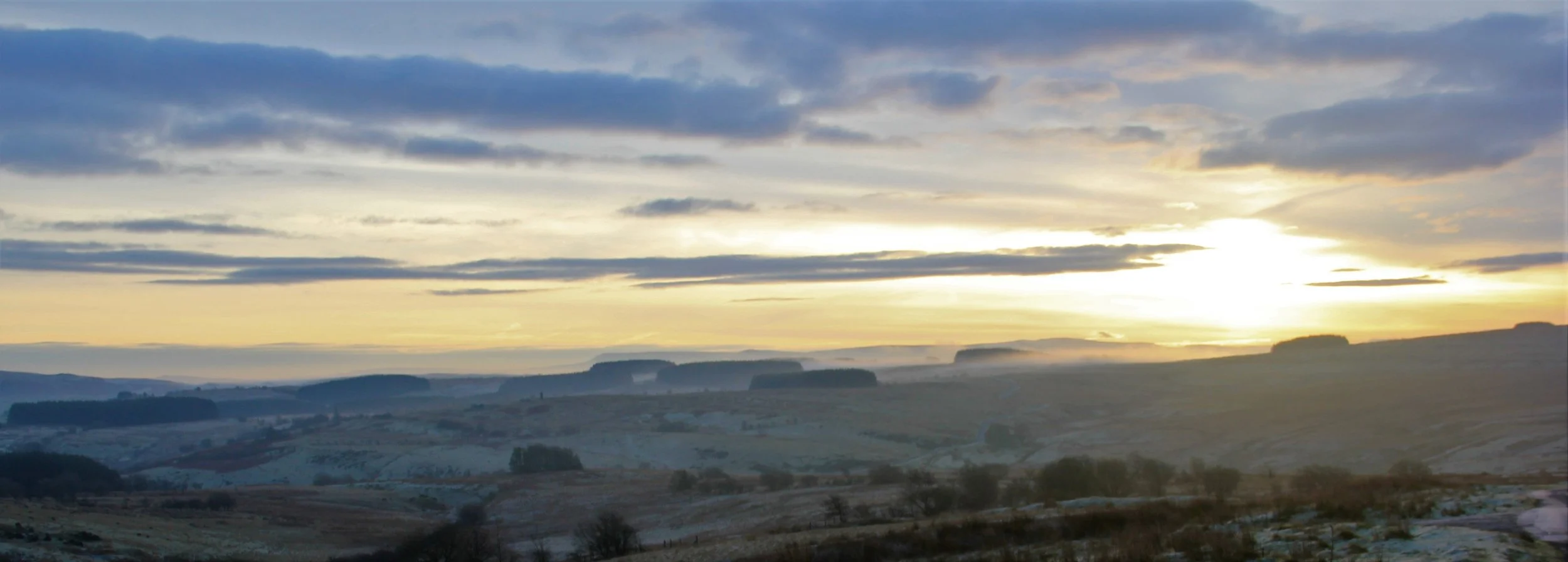
A track adjacent to the Centre leads to further picnic benches, information boards and a short circular walk. The track leads to a junction by a stream where by following right you rise to a knoll giving stunning views of Pen y Fan and the Black Mountains. There are further information boards including details on the site of a nearby ancient volcano. The picnic bench on the top sits on what was once the firing point on a wartime anti- tank range used until the 1990s. Targets were towed on a sunken inclined railway line still visible today. The road had to be closed whenever firing took place.
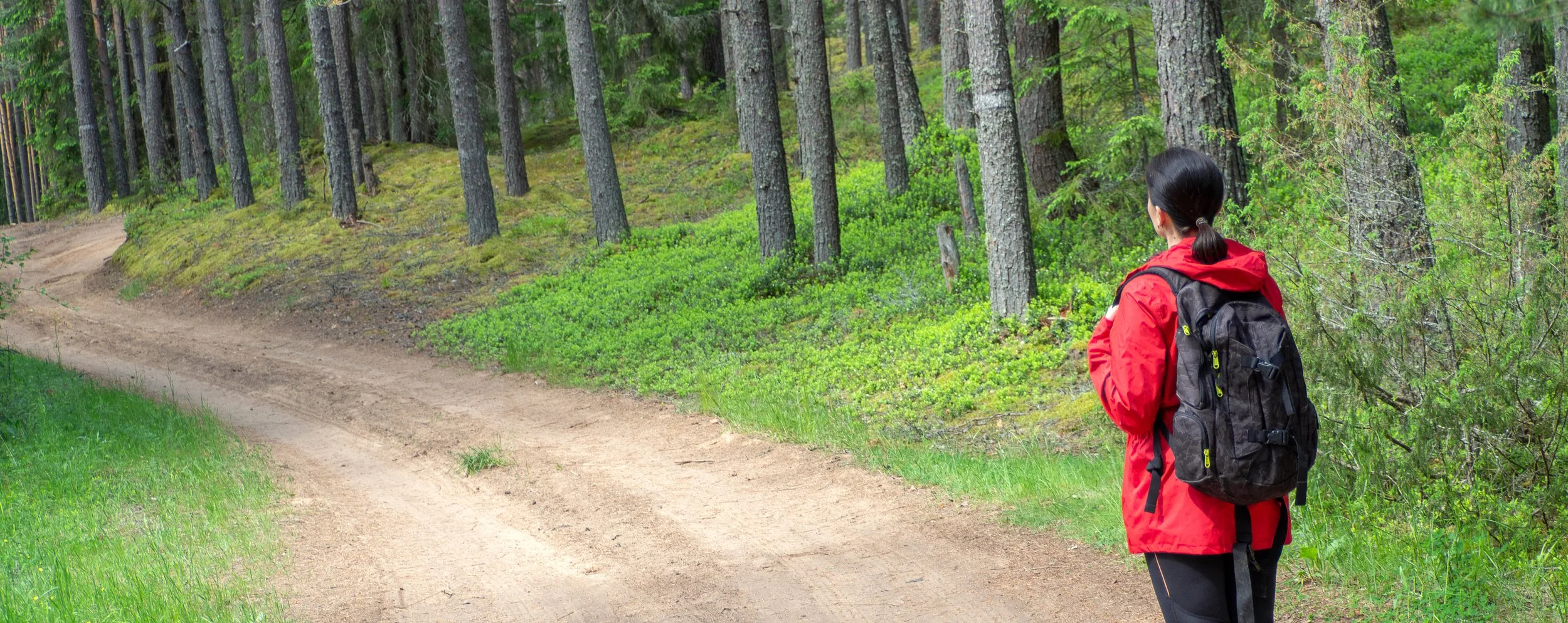
Where the track meets the stream you can also turn left and follow way marked posts on a 2 mile circular walk over the moorland that will bring you back to the Visitor Centre. If you see any military debris, don’t worry, you are safe but please don’t pick things up. You may see soldiers training but you are more likely to see red kites, hares and other wildlife.
Leaflets giving details on the Epynt and the Epynt Way path, an 65km route around the circumference of the military training area are available for free in the Visitor Centre.
